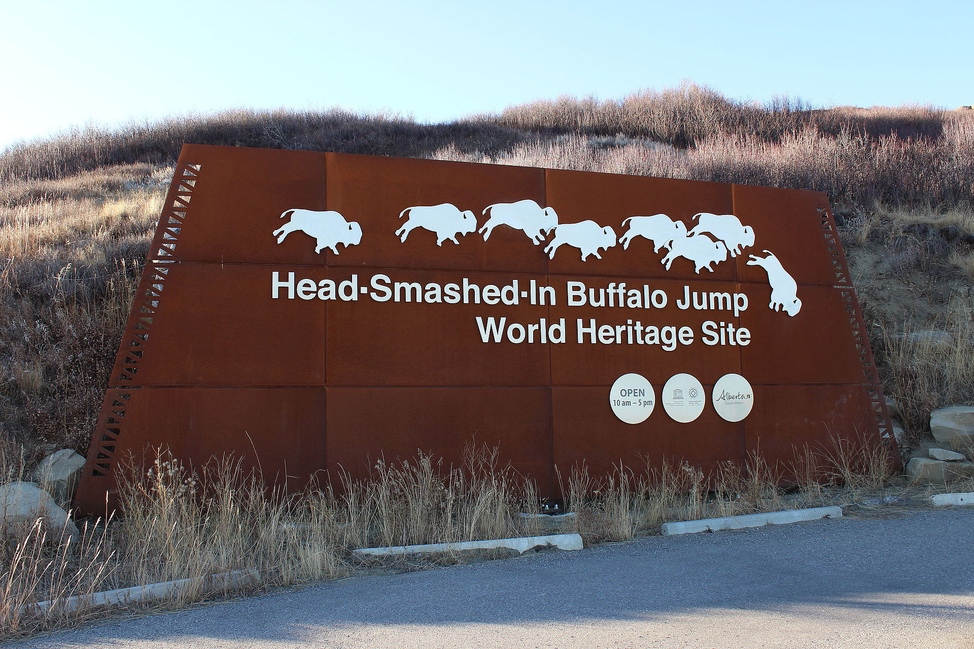
Head-Smashed-In Buffalo Jump
Estipah-Skikikini-Kots · Head-Smashed-In
Archaic to Protohistoric 3600 BCE–1850 CE (use from 5700 years BP)·Plains Indigenous (Blackfoot / Niitsitapi – Peigan, Kainai, Siksika; earlier Besant, Avonlea)·🇨🇦 Alberta, Canada
About
About Head-Smashed-In Buffalo Jump
UNESCO World Heritage buffalo jump (1981) used continuously 5,700 years: 300 m cliff with 10 m drop onto bone bed 11 m deep of bison skeletons, drive lanes marked by 240 cairns stretching 20 km to Porcupine Hills, plus adjacent processing camp (2,000 years). Blackfoot Niitsitapi piskun technique: young men disguised as coyotes funneled bison off cliff; bone upsurge proves sustainable communal hunt. International award-winning interpretive centre built into hillside.
Why it mattersOldest, largest and best-preserved buffalo jump in North America; paradigm for Plains communal hunting, herd management and Indigenous ecological knowledge.
Open questions
Mysteries & theories
Mysteries
- 01How 2,000+ bison drives accumulated 8 m bone depth without soil weathering mixing
- 02Whether drive-lane cairn continuity encodes astronomical or social boundary knowledge
Theories
- 01Bone bed stratigraphy records sophisticated herd manipulation, not wasteful overhunting
- 02Cliff as sacred hunting architecture: drive lanes aligned to mimic bison behavior biology
Theories are interpretations, not findings. The seal above tells you how much scholarly weight the place carries.
History
How it came to be
- Built
- Natural cliff; drive lanes progressively cairned from 3600 BCE
- Period
- Archaic to Protohistoric 3600 BCE–1850 CE (use from 5700 years BP)
- Culture
- Plains Indigenous (Blackfoot / Niitsitapi – Peigan, Kainai, Siksika; earlier Besant, Avonlea)
- Purpose
- Communal buffalo hunting and processing; pedagogical and ritual landscape
- Excavation
- Partially excavated
Natural cliff; drive lanes progressively cairned from 3600 BCE
Initial construction
c. 1021 CE
Rediscovery
On the ground
Structures & features
49.7494° N · 113.6250° W · 1160 m · 3 mapped features
Buffalo jump cliff
jump10 m sandstone cliff edge
49.7494° N · 113.6250° WDrive lanes (cairn avenue)
drive lane240 stone cairns forming 20 km funnel
49.7600° N · 113.6500° WKill site bone bed
bone bed11 m deep bone accumulation below cliff
49.7490° N · 113.6240° W
Gallery